Baronie van Cranendonck

A Turbulent History
This remarkable area, located in the heart of the municipality of Cranendonck, has a rich history. In the Middle Ages, just 100 metres from here, stood Cranendonck Castle, believed to have been built around 1250 by order of Engelbert van Horne.
In 1595, during the Eighty Years' War, a witch hunt began here in Soerendonk. Innocent women were accused of witchcraft and blamed for poverty, disease, crop failures and all sorts of other misfortunes. This witch hunt rapidly spread across the Peelland region and led to the death of 25 women — a dark chapter in local history. A witches' monument has been erected in the pond between the old castle ruins and the current manor house in remembrance.
In 1673, the castle was destroyed by the French. The remains disappeared over the centuries, but the castle’s contours have now been made visible again.
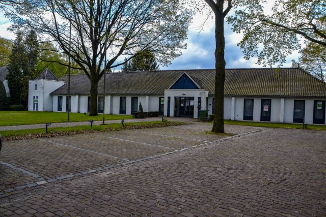
In 1899, the white manor house known today as ‘Cranendonck Castle’ was built on the former estate grounds. In 1938, the municipality of Maarheeze became the owner of the estate and repurposed the villa as a town hall. Today, the beautiful historic building is primarily used as a wedding venue.
From 1952, the Barony was home to the ‘Cranendonck Experimental Farm’. Wageningen University conducted research here into dairy farming systems in sandy regions until 2010.

Valuable Natural and Cultural Landscape
The Barony of Cranendonck is a mixed area of nature and agriculture. In recent years, farming has increasingly focused on nature and landscape management as well as social functions. The core of the estate resembles an old Brabant cultural landscape, characterised by meadows, fields, woodland, streams, hedgerows and tree-lined banks.
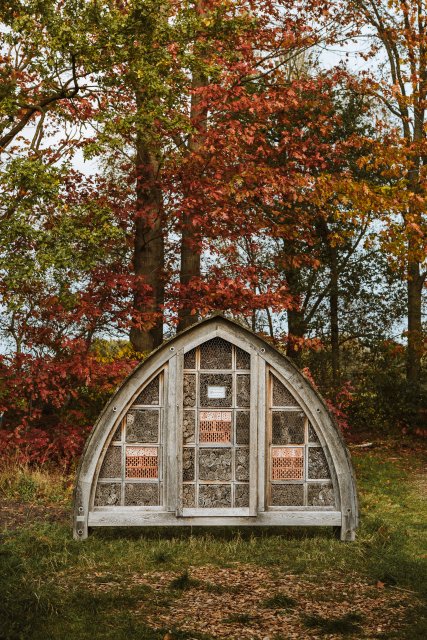
Part of the area has been designated a ‘Wet Pearl of Nature’, a nature reserve highly dependent on high groundwater levels or seepage. You’ll find typical carr woodlands here: alder, willow, and poplar trees, sometimes planted on raised ridges. To the south of the white manor house lies the Cranendonck Forest and the Buulderbroek stream valley. This wet nature area is fairly accessible via boardwalks and stepping stones. It is a haven for birds and insects, including rare species. The Buulder Aa stream flows through the area and has been designated an ‘ecological corridor’ to support the migration of flora and fauna between nature reserves.
An Area in Development
An enthusiastic group of initiators is working with the municipality to preserve and develop this special area. The agricultural nature association ‘Land van Cranendonck’ is involved in managing and strengthening nature and landscape. Since 2020, the agricultural cooperative ‘Herenboeren De Groote Heide’ has been based in the Barony. It employs a farmer who produces sustainable food exclusively for the cooperative's members.
To the southeast of the white manor house, the Cranendonck branch of IVN (Institute for Nature Education and Sustainability) has created a vibrant experience garden, complete with a barefoot path and a gnome trail. Since 2024, the Barony has also been home to the ‘Connection Garden Den Hoof’ — a place to meet and unwind, where everyone is welcome to be themselves.
On the other side of the Cranendonck Forest, at Broekkant, lies ‘De Immenhof’, a bee and flower garden that is always open and free to visit. The garden features various themed sections, including an ornamental garden, rock garden, heath garden, and herb garden.


